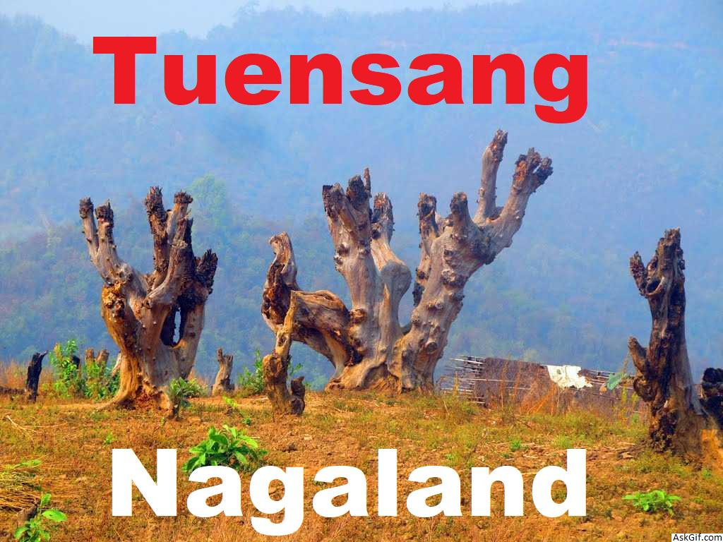
Tuensang is a town in Nagaland, India, with a population of 36,774,. It is the headquarters of the Tuensang district, the easternmost and the largest district of Nagaland, bordering with Myanmar. The town was founded in 1947 for the purpose of administrating the erstwhile North Eastern Frontier Agency (NEFA) that comprised the present day Tuensang, Mon, Longleng, Kiphire and Noklak districts. Nowadays, these four districts combined together are also known as Eastern Nagaland.
Tuensang District is the largest district in Nagaland, a state in North-East India. Its headquarters is in Tuensang town.
Educational institutions
Government Higher Secondary School
St. John's High School
Christ King School
St. Joseph's School
Thangjem High School
Chaba School
St. Xavier School
St. Anthony School
Holy Angel School
Little Flower School
Akum Imlong School
Loyem Memorial High School
Baptist Thangyen School:Tuensang
Montessori Kids Care School
Assam Rifles School
National Institute of Open Schooling
Holy Cross School Saksi
Eklavya Model Residential School Saksi
3rd Battalion N.A.P School Saksi
Jawahar Navodaya Vidyalaya Chare
Government High School Noksen
Government Higher Secondary School Noklak
Christian High school Shamator
Government High School Shamator
Tulip Residential Academy, 3rd NAP
Trinity Academy, Tuensang
Government High School pathso
Baptist School pathso
G.M.S Pathso Nokeng
Colleges
Sao Chang College
Loyem Memorial College
District Institute of Teachers' Education
Imlong Theological College Saksi
Oriental Theological College Yangli
IGNOU Study Center
Public utilities
The district has a functional 100-bed Civil Hospital which has been upgraded to Regional Diagnostic Center (RDC) but is yet to be operationalised. The district has an agriculture science center known as KVK, an undertaking of the government of India, badminton stadium, town hall and a public ground. The "Longpang Project," a program managed by Eleutheros Christian Society (ECS) in collaboration with government and private agencies, near Hakchang Village, has one health center which runs the only rehabilitation center in the district that takes care of AIDS patients and drug addicts.
The National Highways 155 passes through the district, linking Mokokchung (NH-61 junction) and Jessami (NH-150 junction) via Tuensang Town, covering a distance of 342 km.
Languages
Sangtam language
Yimchungrü language
Khiamniungan language
Chang language
Flora and fauna
In 1984 Tuensang district became home to the Fakim Wildlife Sanctuary, which has an area of 6.4 km2 (2.5 sq mi).
History
The Tuensang area was originally made up of all the present four districts of Eastern Nagaland. Even after the British conquest of India, the Tuensang tribal region remained unadministered due to lack of sufficient men and money. However, in 1902, the area was brought under the nominal control of the British. It was called Tribal Area and was administered by the Governor General of India. In 1948, a separate division called Tuensang Administrative Circle was created.
When the Constitution of India was first released in 1950, Tuensang Division was placed in "Part B" category of tribal districts as per the Sixth Schedule. It became part of the North-East Frontier Agency (NEFA). Subsequently, in 1957, it was merged with the Naga Hills District to form a new administrative unit under the Ministry of External Affairs. After negotiation with the secessionists, this administrative unit was later made a full-fledged state called Nagaland.
Geography
District map of Nagaland with Tuensang town
Tuensang is located at 26.28°N 94.83°E. It has an average elevation of 1371 metres (4498 feet).
Demographics
As of 2011 India census, Tuensang had a population of 36,774, up 24% from 29,654 in 2001. Males constitute 56% of the population and females 44%. Tuensang has an average literacy rate of 71%, higher than the national average of 59.5%: male literacy is 74%, and female literacy is 67%. In Tuensang, 13% of the population is under 6 years of age.
Tuensang is one of the larger towns in Nagaland along with Dimapur, Kohima and Mokokchung. The landowners/permanent tribes of the district are Changs, Sangtams, Yimchungers and Khiamniungans. The Tuensang town serves as a nerve center of the eastern part (which comprises five districts: Tuensang, Mon, Kiphire, Longleng and Noklak with six major tribes) of Nagaland state.
Tuensang is the headquarters to apex organisations such as Eastern Nagaland Peoples' Organisation (ENPO), Eastern Naga Students' Federation (ENSF), Khiamniungan Tribal council (KTC), Chang Khulei Setshang (CKS), Confederation of Chang Students' Union (CCSU), Chang Baptist Lashong Thangyen (CBLT), Eleutheros Christian Society (ECS), Eastern Farming Association, etc.
source: https://en.wikipedia.org/wiki/Tuensang


