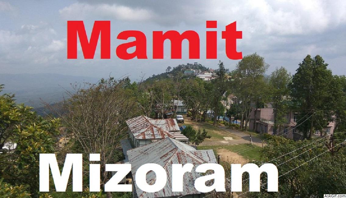
Mamit is a census town in Mamit district in the Indian state of Mizoram. Mamit emerged from the regrouping of villages.
Mamit district is one of the eight districts of Mizoram state in India.
Geography
Mamit is located at 23.93°N 92.48°E. It has an average elevation of 718 metres (2355 feet).
The district is bounded on the north by Hailakandi district of Assam state, on the west by North Tripura district of Tripura state and Bangladesh, on the south by Lunglei district and on the east by Kolasib and Aizawl districts. The district occupies an area of 3025.75 km². Mamit town is the administrative headquarters of the district.
Demographics
As of 2011 India census, Mamit had a population of 7884, in which 4074 are male while 3810 are female. Mamit has an average literacy rate of 95.40%, higher than the national average of 74.04%: male literacy is 95.86%, and female literacy is 94.92%. In Mamit, 15% of the population is under 6 years of age. The population comprises Mizo,Reang(Bru),Chakma and other backward classes.
According to the 2011 census Mamit district has a population of 86,364, roughly equal to the nation of Andorra. This gives it a ranking of 618th in India (out of a total of 640). The district has a population density of 29 inhabitants per square kilometre (75/sq mi) . Its population growth rate over the decade 2001-2011 was 37.56%. Mamit has a sex ratio of 927 females for every 1000 males, and a literacy rate of 84.93%.
Transport
The distance between Mamit and Aizawlis 89 km and is connected with regular service of Bus, Jeeps and Sumo(Sport utility vehicle).
Education
There is one college Mamit College, under Mizoram University and a number of public and private schools.
Media
The Major Newspapers in Mamit are:
Mamit Times
Flora and fauna
In 1985 Mamit district became home to Dampa Tiger Reserve, which has an area of 500 km².
source: https://en.wikipedia.org/wiki/Mamit


