Lunglei is a town, situated in the south-central part of Mizoram state, northeastern India. Lunglei, sometimes spelled Lungleh, literally meaning 'bridge of rock' got its name from a bridge like rock found in the riverine area around Nghasih - a small tributary of the river Tlawng. It is the second largest town after the capital, Aizawl, located 165 km (102 miles) south of Aizawl.
Lunglei district is one of the eight districts of Mizoram state in India. As of 2011 it is the second most populous district in the state, after Aizawl. It is also the largest district in Mizoram with an area of 4,572 km2(1,765 sq mi).
History
Lunglei was the Capital of South Lushai Hill Districts for 10 years from 1888, as was Aizawl for the North Hill Districts. The two were united in 1898. Lunglei is the second-largest town in Mizoram and was an important town until the partition of India as it had direct access to Chittagong, a big city in Bangladesh which made Lunglei the commercial and education centre.. As of 1912, there were only 2 shops in Lunglei 1922 which increased to 4 shopes in 1922. The first Jeepable road to Lunglei was made only in the 1950's. on 1 March 1966, the MNF declared unilateral Mizo Independence and attacked Assam Rifles post at Lunglei, captured the SDO and seized Rs 18 Lakhs from the Govt Treasury.
Geography
Lunglei is located at 22.88°N 92.73°E. It has an average elevation of 722 metres (2368 feet).
Demographics
Lunglei is one of the prominent districts of Mizoram. Encompassing a total area of 4,538 square kilometres (1,752 sq mi), the district of Lunglei has a population of 137,155. The district of Lunglei is 235 kilometres (146 mi) from Aizawl, the capital of Mizoram and is easily accessible by well maintained roads. The district is bounded on the north by Mamit and Aizawl districts, on the west by Bangladesh, on the south by Lawngtlai district, on the southeast by Saiha district, on the east by Myanmar and on the northeast by Champhai district. As of 2011 India census, Lunglei had a population of 57,011. Males constitute 52% of the population and females 48%. Lunglei has an average literacy rate of 84%, higher than the national average of 59.5%: male literacy is 84%, and female literacy is 83%. In Lunglei, 14% of the population is under 6 years of age.
Administration
The district of Lunglei has been further divided into major sub divisions of Hnahthial SDO (S), Lunglei SDO (S) and Tlabung SDO (S) and 4 R.D. Blocks, Bunghmun, Hnahthial, Lunglei and Lungsen. The district has 7 assembly constituencies. These are South Tuipui, Lunglei North, Lunglei East, Lunglei West, Lunglei South, Thorang and West Tuipui for the administrative convenience of the district officials. Lunglei town is the administrative headquarters of the district.
Education
The Major Educational Institutions of Higher Learning in Lunglei are:
Lunglei Government College, Lunglei
J.Buana College, Lunglei
Higher and Technical Institute of Mizoram
Mizoram Polytechnic offering Engineering diploma courses.
Lunglei Nursing College
Christian Hospital Serkawn Nursing College
Mizoram Engineering College
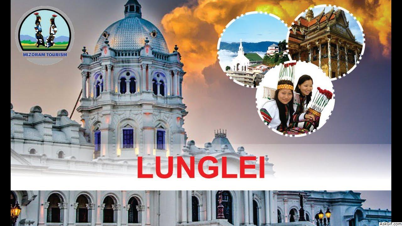
Tourism
Blessed with unmatchable natural scenic beauty, Lunglei draws several tourists from far and wide who are absolutely thrilled with the captivating sight of the place. Some of the notable tourist spots of the district of Lunglei are:
Zobawk Sports Academy
Kawmzawl Park
Khawnglung Wildlife Sanctuary
Saikuti Hall where most of the concerts and celebrations are held. A unique museum has also been established in the hall where local painters demonstrate their skill and exhibit their works.
Thuamluaia Mual - is the second football stadium with Artificial turf in Mizoram.
For those tourists who want to add a bit of adventure in their sojourn to Mizoram, Lunglei offers them with a plethora of picnic spots to explore their inherent sporting skills and sportsman spirit. Lunglei district offers the tourists to enjoy natural splendor coupled with the rich cultural traditions of the region.
Media
Newspapers
Hnamdamna
Zochhiar
Lunglei Times
Daifim
Ralvengtu
Vulmawi
Lunglei Tribune
MAKEDONIA (Sunday)
Daily Post
Zunzam
Cable Networks
LDF Cable Network
J.B. Cable Network
Transport
The closest route to Lunglei in the 1890's was through Tlabung, a town about 35 kilometers from Lunglei where Karnaphuli River connects to Chittagong, a distance of about 90 kilometers. In the 1940's, a trip from Lunglei to Shillong or Kolkata passed through Chittagong rather than Aizawl. .
A Helicopter service by Pawan Hans has been started between Aizawl and Lunglei. The distance between Lunglei and Aizawl is less than 200 kilometres (120 mi), and the cities are connected by regular service of buses and jeeps. There are also plans to construct a small airport at Kawmzawl, about 25 kilometres (16 mi) from Lunglei..
Neighbourhoods
AOC
Bazar Veng
Chanmari-I
Chanmari-II
Chanmari-III
College Veng
Electric Veng
Farm Veng
Falkawn
Hrangchalkawn
Kikawn
Luangmual
Lunglawn
Melte
Pukpui
Rahsi Veng
Ramthar Veng
Ramzotlang
Salem Veng
Serkawn
Sethlun
Theiriat
Venghlun
Venglai
Zobawk
Zohnuai
Zotlang
Economy
Lunglei has 9.97% of the forest land within its total area. Most of the indigenous local inhabitants of the district of Lunglei depend on agriculture and earn their livelihood from growing crops. The cash crops of coffee and rubber help the district to earn its revenue. The farmers of the district mostly practice the traditional method of shifting cultivation, which is popularly referred to as jhum. Rice is the principal crop in the agricultural economy. Cottage industries produce handloomed cloth, furniture, agricultural equipment, woven textiles, and bamboo and cane work. Lunglei is also the Church Headquarters of Baptist Church of Mizoram.
source: https://en.wikipedia.org/wiki/Lunglei


