East Jaintia Hills district is a district with its headquarters at Khliehriat in Meghalaya state of India. The district was carved out of Jaintia Hills district on 31 July 2012.
Khliehriat and Saipung are the two community and rural development blocks of the district.
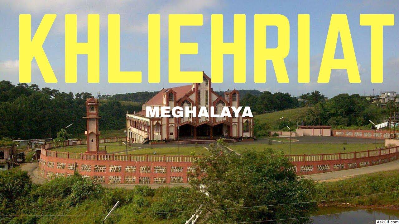
Khliehriat is the headquarters of the East Jaintia Hills district in Meghalaya state of India. The district was carved out of Jaintia Hills district.
Khliehriat and Saipung are the two community and rural development blocks of the district.
Khliehriat has a government hospital and a few private clinics. There are many churches in Khliehriat and people are Christians in majority. There are many schools namely Khliehriat Higher Secondary School with students from kindergarten to Science stream in Higher Secondary. Football and bull fighting are some of the major crowd attractions.
Khliehriat has a fairly cold temperature throughout the year, accompanied by heavy rains in the monsoons.
History
East Jaintia Hills District was carved out of the erstwhile Jaintia Hills District on 31 July 2012. Khliehriat, the district headquarters, was created as an administrative unit on August 14, 1976 and was upgraded to a civil sub division on May 27, 1982 before finally becoming the district headquarters.
Geography
The total area of the district is 2115 km2. The district comprises 2 community and rural development blocks viz. Khliehriat C&RD Block, and Saipung C&RD Block with the following boundaries:
North - Assam and West Jaintia Hills District
South - Bangladesh and Assam
East - Assam
West - West Jaintia Hills District
Divisions
East Jaintia Hills district is divided into two blocks, namely:
Name Headquarters Population Location
KhliehriatKhliehriat
Jaintia Hills Subdivisions Khliehriat.png
SaipungSaipung
Jaintia Hills Subdivisions Saipung.png
Demographics
Mainly inhabited by the Pnars ,Khynriam and the Biates, East Jaintia Hills has a population of 1,22,436 residing in 206 villages.
Khliehriat (Vidhan Sabha constituency) is one of the 60 assembly constituencies of Meghalaya, a north east state of India. This constituency falls under Shillong Lok Sabha constituency. Current MLA from this constituency is Kyrmen Shylla of United Democratic Party.
source: https://en.wikipedia.org/wiki/East_Jaintia_Hills_district