East Khasi Hills is an administrative district in the state of Meghalaya in India. The district headquarters are located at Shillong. The district occupies an area of 2752 km² and has a population of 824,059 (as of 2011). As of 2011 it is the most populous district of Meghalaya's seven districts.
The Khasi Hills /ˈkɑːsi/ is a low mountain formation on the Shillong Plateau in Meghalaya state of India. The Khasi Hills are part of the Garo-Khasi-Jaintia range and connects with the Purvanchal Range and larger Patkai Range further east. Khasi Hills, and the whole Garo-Khasi-Jaintia range, are in the so-called Meghalaya subtropical forests ecoregion.
Khasi Hills, and the entire Meghalaya state was administratively part of Assam before 1970. In older sources in particular, the alternative transcription Khasia Hills is seen.
The region is inhabited mainly by tribal Khasi dwellers, which are traditionally in various chieftainships, states known as the Khasi Hill States. One of its capitals, Cherrapunji, is considered one of the wettest places in the world.
The region came under the Khasi Hills district, which was divided into West Khasi Hills and East Khasi Hills districts on 28 October 1976.
The highest peak is Lum Shyllong which is 1,968 metres (6,457 ft) high. It is situated a few kilometers south of Shillong town.
Demographics
According to the 2011 census, East Khasi Hills district has a population of 824,059, roughly equal to the nation of Comoros or the US state of South Dakota. This gives it a ranking of 478th in India (out of a total of 640). The district has a population density of 292 inhabitants per square kilometre (760/sq mi) . Its population growth rate over the decade 2001-2011 was 24.68%. East Khasi Hills has a sex ratio of 1008 females for every 1000 males, and a literacy rate of 84.7%.
Culture
Places of interest
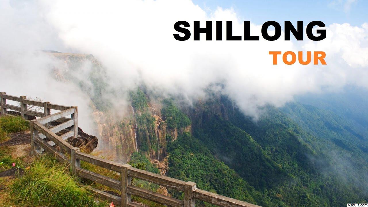
Shillong the headquarters of this district is a hill station with a number of tourist attraction all around.
Sohra (Cherrapunjee) once the wettest place on the planet, also known for its living root bridges and is a tourist attraction.
Nohkalikai Falls one of the tallest falls in India is located near Sohra (Cherrapunjee).
Sweet Falls located in Mawshabuit
Nohsngithiang Falls
Kynrem Falls
Umiam Lake an artificial lake on the way to Shillong.
Mawlynnong village, located in the Pynsursla block, is known for its cleanliness. The travel magazine Discover India declared the village as the cleanest in Asia in 2003, and the cleanest in India in 2005.
Transport
The headquarters of the district, Shillong which is also the capital city of State, is connected to Guwahati and Silchar by NH 44 of 103 km and 240 km respectively. The nearest Rail head and airport are situated at Guwahati. There is an airstrip suitable for small aircraft at Umroi which is 35 km from Shillong. The agricultural and other products are transported by trucks, jeeps and tractors. Shillong is well connected with other parts of the State by motorable road. Similarly, all the block headquarters in the district are also connected by roads. However, the villages in the interior areas are poorly connected and transport services are inadequate.
Divisions
Administrative divisions
East Khasi Hills division is divided into eight blocks:
Name Headquarters Population Location
Khatarshnong LaitkrohMawjrong
East Khasi Hills Subdivisions Khatarshnong Laitkroh.png
MawkynrewMawkynrew
East Khasi Hills Subdivisions Mawkynrew.png
MawphlangMawphlang
East Khasi Hills Subdivisions Mawphlang.png
MawryngknengMawryngkneng
East Khasi Hills Subdivisions Mawryngknang.png
MawsynramMawsynram
East Khasi Hills Subdivisions Mawsynram.png
MylliemMylliem
East Khasi Hills Subdivisions Mylliem.png
PynsurslaPynsursla
East Khasi Hills Subdivisions Pynsursla.png
Shella BholaganjCherrapunjee
East Khasi Hills Subdivisions Shella Bholaganj.png
source: https://en.wikipedia.org/wiki/East_Khasi_Hills_district