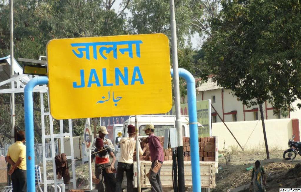
Jalna is a city in Jalna district in the Aurangabad Division, or Marathwada region, of the Indian state of Maharashtra. It was part of Hyderabad State as a tehsil of Aurangabad district, before Jalna district was formed effective 1 May 1981.
Jalna district is an administrative district in the state of Maharashtra in western India. Jalna town is the district headquarters. The district is part of Aurangabad division.
Economy
The first cotton-ginning & oil-pressing factory was established in the year 1863 by Mr. Pestonji Meherwanji.
In 1889 a cotton-spinning and weaving mill was erected in Aurangabad city, which employed 700 people. With the opening of the Hyderabad-Godavari Valley Railways in the year 1900, several ginning factories were started. In Jalna alone, there were 9 cotton-ginning factories and 5 cotton presses, besides two ginning factories at Aurangabad and Kannad, and one oil press at Aurangabad. The total number of people employed in the cotton presses and ginning factories in the year 1901 was 1,016.
Transport
Jalna is primarily connected with the rest of India by railway and road.
Rail
Jalna is a station located on the Secunderabad-Manmad Line of the newly created Nanded Division of South Central Railway. Formerly, it had been a part of Hyderabad Division, before divisional adjustments in 2003, which saw HYB's bifurcation. Jalna-Khamgaon railway line is sanctioned and, after being finished, will connect to Central Railway
Road
Jalna is connected to major towns of the state by state highways. Road connectivity is excellent, roads connecting to Aurangabad, Pune, Ahmednagar, Nagpur, Beed, Khamgaon, Mumbai, having been upgraded to four-lane highways. A New Nagpur-Aurangabad-Mumbai highway, passing through Jalna, is being developed
Geography
The district is situated in central Maharashtra, in the north of the Marathwada region—one of eight districts—as part Aurangabad division, and is bounded on the north by Jalgaon district, on the east by Parbhani district and Buldhana district, on the south by Beed district and on the west by Aurangabad district.
The district occupies an area of 7,718 square kilometres (2,980 sq mi). The range of geographical latitudes and longitudes of the district is from 19.01' N to 21.03'N and from 75.04'E to 76.04'E, with gently to moderately sloping topography. The Northern part of the district is occupied by the Ajanta and Satmala hill ranges.
Rivers and lakes
The Godavari River flows along the southern boundary of the district, from west to east. The Purna River, one of the major tributaries of the Godavari, also flows through the district. The Dudhana, the principal tributary of the Purna, and the Kelana and the Girija, also tributaries of the Purna, as well as the Gulati and the Kundlika—which has been dammed to create the Ghanewadi Reservoir, which provides water to Jalna city—are other rivers draining the district.
Divisions
The district was formed during the term of chief minister Abdul Rehman Antulay. The district is divided into two sub-divisions, Jalna and Partur. These are further divided into eight talukas: Jalna, Ambad, Bhokardan, Badnapur, Ghansavangi, Partur, Mantha and Jafrabad. There is a total of 970 villages in the district.
The district has five constituencies of Maharashtra State Vidhan Sabha ( Legislative Assembly):
Partur (Vidhan Sabha constituency)
Ghansawangi (Vidhan Sabha constituency)
Jalna (Vidhan Sabha constituency)
Badnapur (Vidhan Sabha constituency)
Bhokardan (Vidhan Sabha constituency)
While Partur and Ghansawangi are part of Parbhani (Lok Sabha constituency), the other three are part of the Jalna (Lok Sabha constituency).
Demographics
According to the 2011 census,
Jalna district has a population of 1,958,483, roughly equal to the nation of Lesotho or the US state of New Mexico. This gives it a ranking of 237th in India (out of a total of 640).
The district has a population density of 255 inhabitants per square kilometre (660/sq mi). Its population growth rate over the decade 2001–2011 was 21.84%.
Jalna has a sex ratio of 929 females for every 1000 males, and a literacy rate of 73.61%.
source: https://en.wikipedia.org/wiki/Jalna_district


