Balaghat is a city and a municipality in Balaghat district in the state of Madhya Pradesh, India. It is the administrative headquarters of Balaghat District. Wainganga River flows beside the town.
Balaghat district is a district of Madhya Pradesh state in Central India. The town of Balaghat serves as its administrative headquarters.
Balaghat is known for tile factories and rice mills.
History
In 1845 AD the “Gondwana Kingdom” included in British rule the then Capital Kolkata of India by the action of Lord Dalhousie on abolition of “Practice of Adoption” and was named as “Baraghat” against the name proposed “Barahaghat” and officially spoken as “Balaghat” spelt ‘l’ as ‘r’. The hilly areas mostly known as Kanjaighat, Saletekrighat, Baisanghat, Dongrighat, Ramramaghat, Teepagharghat, Kavharghat, Dongriyaghat were covered under this region. “Balaghat” district was formed along with some parts of the Central Provinces of Bhandara, Seoni, and Mandla Districts as was part of Central Province of Nagpur which was Capital for British with two tahsils “Balaghat” and “Baihar”. The name “Balaghat” was originated because of the more hilly regions in this district. The regions of “Balaghat” district were the concern of Maratha rulers before British. The word “Bala” means “Best” in Marathi Language. The name “Balaghat” was called because the people are “Best People”(Balao) as “Balao ka ghat”
Geography
Balaghat is located at 21°48′N 80°11′E. It has an average elevation of 288 metres (944 feet).
Balaghat is surrounded by Maikal Hills .
Culture
The population of Balaghat mostly speak Hindi but includes many other, including the Marathi & Rural Languages. Balaghat is A city with a rich culture and civilisation. Through Balaghat History it has hosted many people coming from East (Chhattisgarh), South (Maharashtra) and North ( North Madhya Pradesh). All those civilisations have affected the social structure of Balaghat.
Demographics
According to the 2011 census Balaghat District has a population of 1,701,156, roughly equal to the nation of The Gambia or the US state of Nebraska. This gives it a ranking of 288th in India (out of a total of 640). The district has a population density of 184 inhabitants per square kilometre (480/sq mi) . Its population growth rate over the decade 2001–11 was 13.56%. Balaghat has a sex ratio of 1021 females for every 1000 males, and a literacy rate of 78.29%.
As per the 2001 Census, the total population of the district is 1,497,968, of which 1,236,083 is rural population and 129,787 is urban. Out of the total population, 113,105 are Scheduled Caste and 298,665 are Scheduled Tribes. The no. of males was 682,260 and the no. of females was 683,610. According to the District website the total area of the district is 9245 km², making the population density 162 persons per km².
In the 1991 Census, the total population of the district was 1,365,870.
Flora and fauna
About 80% of the district's area is covered with forest. and also the District of Madhya Pradesh which has maximum Forest Density. Teak (Tectona grandis), sal (Shorea robusta), bamboo and saja are the main trees. Fauna includes tiger, leopard, bear, nilgai, deer, and gaur, and birds like peacock, Red Bulbul and Koyal. Kanha National Park (Mukki) lies in the district.
Tourism
Lanji Fort & Temple
Gangulpara Tank & Water Fall
Hatta Bawali
Transport
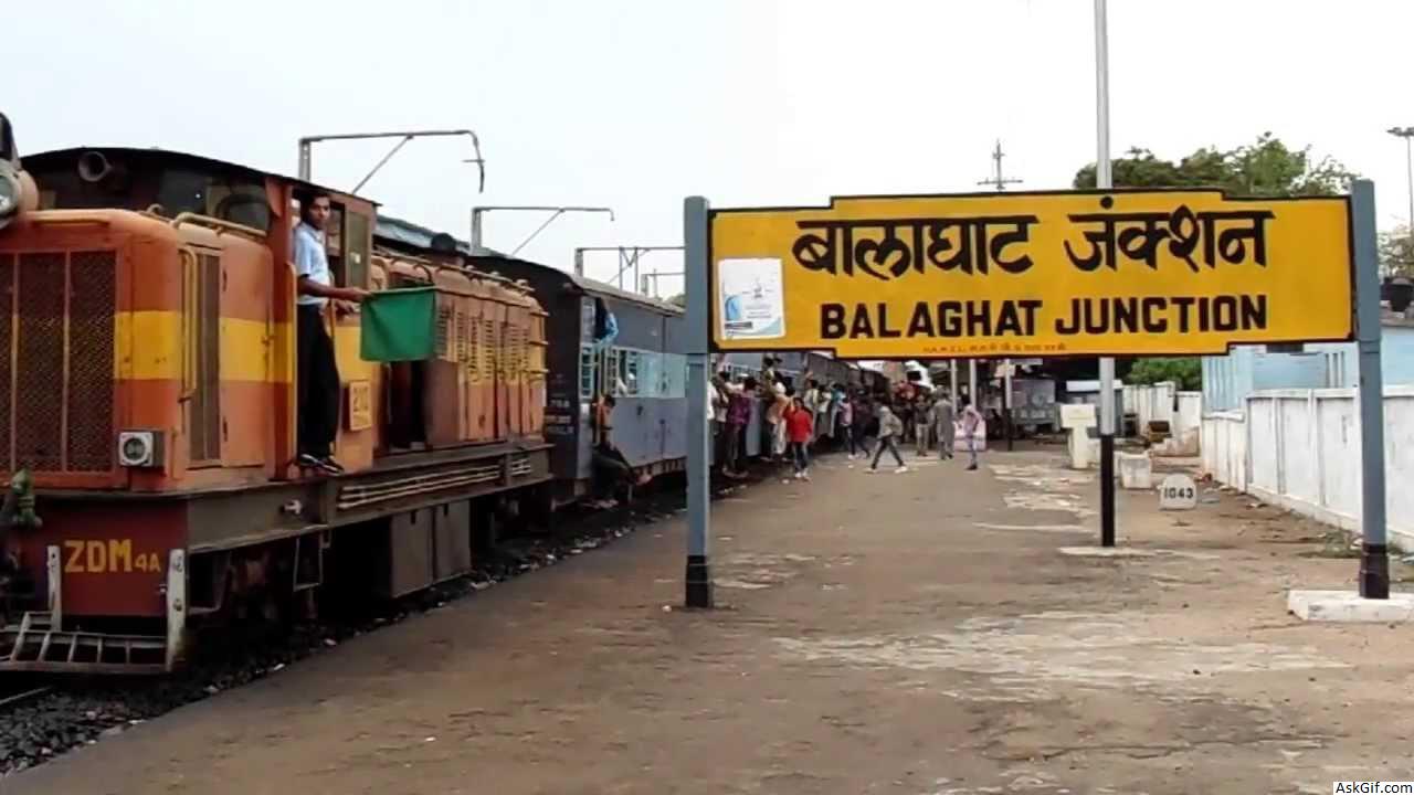
The Jabalpur - Balaghat section of South East Central Railway runs north to south through the district, along the valley of the Satpura Mountains and Wainganga River valley . The line was formerly narrow gauge (2 ft 6 in (762 mm)) for its entire length, but the section between Balaghat to Gondia was converted to broad gauge in 2005–06, connecting Balaghat to India's national broad gauge network for the first time. Work is underway to convert the Balaghat-Jabalpur section to broad gauge as well. A Broad gauge line runs to west from Balaghat to Katangi. And there is a line to Bharveli for Maganese transport
Balaghat is directly connected by bus with larger cities such as Bhopal, Nagpur, Indore Jabalpur, Raipur, Durg etc.
source: https://en.wikipedia.org/wiki/Balaghat


