Panchmahal, also Panch Mahals, is a district in the eastern portion of Gujarat State western India. Panch-mahal means "five tehsils/talukas" (5 sub-divisions), and refers to the five sub-divisions that were transferred by the Maharaja Jivajirao Scindia of Gwalior State to the British: Godhra, Dahod, Halol, Kalol and Jhalod. The district had a population of 2,025,277 of which 12.51% were urban as of 2001. Headquarters: Godhra.
The district is located on eastern end of the state. It is bordered by Dahod District to the north-east & east, Vadodara District to the southwest and Chhota Udaipur District to southeast, Kheda District to the west and Mahi Sagar District to the north.
Economy
In 2006 the Ministry of Panchayati Raj named Panchmahal one of the country's 250 most backward districts (out of a total of 640). It is one of the six districts in Gujarat currently receiving funds from the Backward Regions Grant Fund Programme (BRGF).
Talukas
Panchmahal district is further divided in 7 Talukas for administrative purposes. Following is the list of Talukas of Panchmahal district :
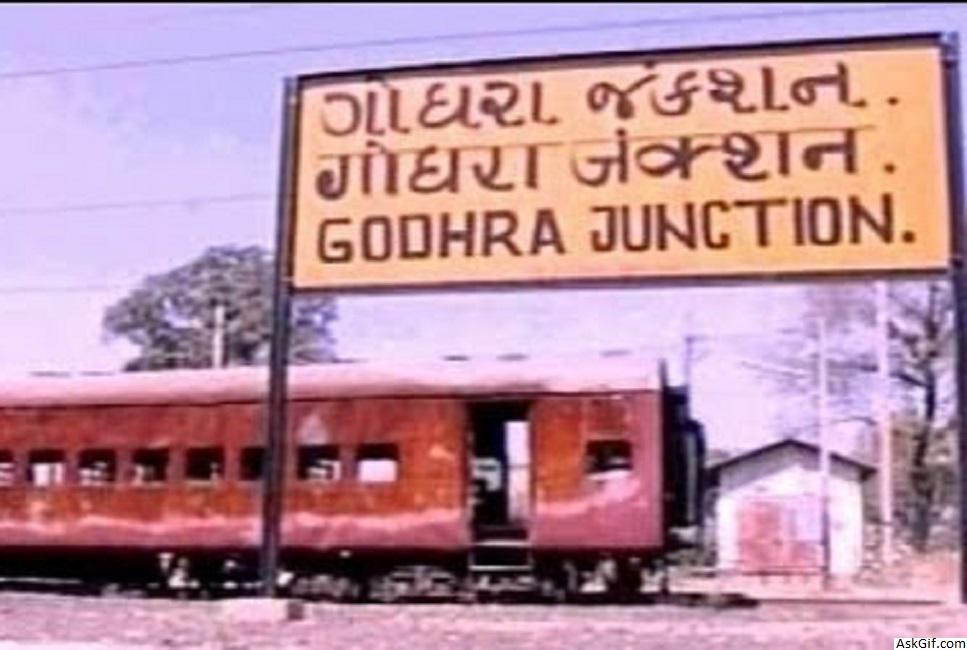
Godhra
Halol
Kalol
Jambughoda
Shahera
Morva Hadaf
Goghamba
According to the 2011 census Panchmahal district has a population of 2,388,267, roughly equal to the nation of Latvia or the US state of New Mexico. This gives it a ranking of 187th in India (out of a total of 640). The district has a population density of 458 inhabitants per square kilometre (1,190/sq mi) . Its population growth rate over the decade 2001-2011 was 17.92%. PanchMahal has a sex ratio of 945 females for every 1000 males, and a literacy rate of 72.32%.
source: https://en.wikipedia.org/wiki/Panchmahal_district


