Lohit is an administrative district in the state of Arunachal Pradesh in India. The district headquarters are located at Tezu. As of 2011 it is the third most populous district of Arunachal Pradesh, after Papum Pare and Changlang.
Etymology
It was known earlier as the Mishmi Hills. The district is named after the Lohit River, from the Sanskrit Louhitya, reddish- or rust-coloured, and consists of the river valley and hills/mountains to the North and South.
History
During the medieval times, the present district was under the control of the rulers of the Chutiya Kingdom. The Chutiya rulers controlled the area from early 13th century to the 16th century and during the 19th century it became one of the last territories to be brought under British control after the punitive Abor and Mishmi Expedition in the first decade of 20th century.
In June 1980, Dibang Valley district was split from Lohit (and has since been bifurcated again to create the new Lower Dibang Valley district). On 16 February 2004, Anjaw district was carved out from the northern part of Lohit district bordering Tibet and Myanmar, with its headquarters at Hawai. Anjaw was carved out under the Arunachal Pradesh Re-organization of Districts Amendment Bill.
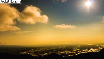
Geography
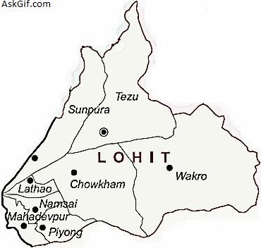
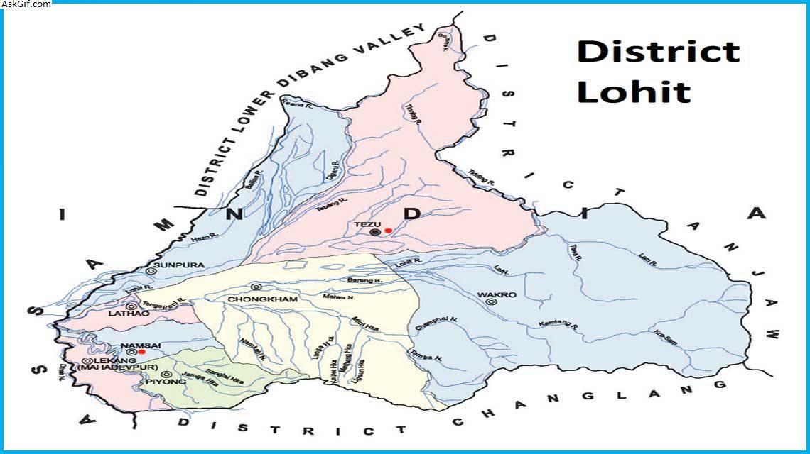
Wakro is an important sub-division of this district. It is a disyllabic word originated from the local dialect miju mishmi: . Another important sub-division of lohit is Sunpura, which is located near Assam and Arunachal border. Lohit district occupies an area of 11,402 km² and has a population of 143,478 (as of 2001).
Divisions
There are four Arunachal Pradesh Legislative Assembly constituencies located in this district: Tezu, Chowkham, Namsai, and Lekang. All of these are part of Arunachal East Lok Sabha constituency.
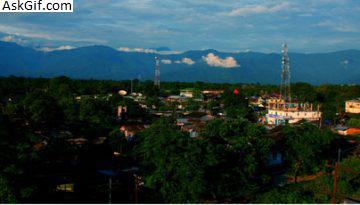
Transport
The area is highly inaccessible, and it was only in 2004 that a permanent bridge has been made operational across the Lohit at the holy site of Parashuram Kund, giving round-the-year connection to Tezu. East of Tezu (about 100 km) lies the small town of Hayuliang, and this is slated to become the headquarters of a new district. The road along the Lohit runs right up to the small garrison town of Walong just south of the China border, site of the famous Battle of Walong in 1962.
Demographics
According to the 2011 census Lohit district has a population of 145,538, roughly equal to the nation of Saint Lucia. This gives it a ranking of 601st in India (out of a total of 640). The district has a population density of 28 inhabitants per square kilometre (73/sq mi) . Its population growth rate over the decade 2001–2011 was 16.44%. Lohit has a sex ratio of 901 females for every 1000 males, and a literacy rate of 69.88%.
Lohit is the home of the Adi, Zekhring, Khampti, Singpho and Mishmi tribes. A small group of Tibetans have settled in Lohit since the 1960s. The Zekhring are Tibetan Buddhists; the Khampti and Singpho are Threvada Buddhists, and the Mishmi and Adis are mainly Animists.
Languages
Languages spoken include an endangered Sino-Tibetan tongue with 30,000 speakers, spoken in the eastern part of the district. Major languages are Khampti, Mishmi, Zekhring, Adi and Singpho.
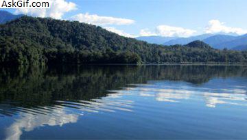
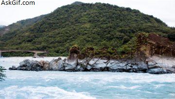
Flora and fauna
In 1989 Lohit district became home to the Kamlang Wildlife Sanctuary, which has an area of 783 km2 (302.3 sq mi). It is the home to some of the endangered flora and fauna. The district has been found to be an ideal place for Jatropha cultivation, which is used for bio-diesel making.
source: https://en.wikipedia.org/wiki/Lohit_district