Madhubani is a town with municipality in Madhubani district in the Indian state of Bihar. It is the district headquarters. It lies 26 km northeast of Darbhanga town and was part of the erstwhile 'Bettiah Raj'. Internal disputes and family quarrels divided the Bettiah Raj in course of time. The Madhuban Raj in Madhubani was created as a consequence.[1] The word "Madhuban" means "forest of honey" from which Madhubani is derived, but sometimes it is also known as "madhu"+"vaani" meaning "sweet" "voice/language".[2] Madhubani is the cultural heart of Mithilanchal, being the birthplace of many literary people and home to Madhubani Paintings. It is said to be that Madhubani is the world's second city who adopted democracy.
Madhubani district is one of the thirty-eight districts of Bihar state, India, and Madhubani town is the administrative headquarters of this district. Madhubani district is a part of Darbhanga division. The district occupies an area of 3,501 square kilometres (1,352 sq mi) and has a population of 4,487,379
Places
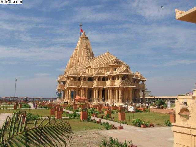
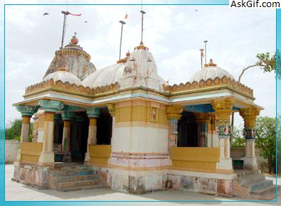
Saurath, a road side village on Madhubani-Jaynagar road, contains a temple known as Somnath Mahadev. It owes its importance to the annual Sabha held by Maithili Brahmins for negotiating marriages. Many Panjikars who keep the genealogical records of the different families reside here and outside.[9]
Subdivisions[10]
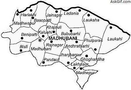
Madhubani District Consists of five subdivisions, each subdivision is headed by Sub Divisional Magistrate (SDM). SDMs are responsible for law and order, development and revenue related work in their respective subdivisions.
Sadar Subdivision, Madhubani
Benipatti Subdivision
Jhanjarpur Subdivision
Phulparas Subdivision
Jainagar Subdivision
Blocks and Circles[11]
There are 21 blocks and circles in the district and each block is headed by a Block development Officer and each circle is headed by a Circle Officer.
Rahika
Pandaul
Rajnagar
Babubarhi
Kaluahi
Khjauli
Jainagar
Ladaniya
Basopatti
Benipatti
Bisfi
Harlakhi
Madhwapur
Jhanjarpur
Andhrathadi
Lakhnaur
Madhepur
Phulparas
Ghoghardiha
Khutauna
Laukahi
Area
Madhubani occupies a total of 3501 km2.
Main Rivers are Kamla, Kareh, Balan, Bhutahi Balan, Gehuan, Supen, Trishula, Jeevachh, Koshi and Adhwara Group.
High Flood Level is 54.017 m.
Whole District is under Earthquake Zone 5.
Total Cropped Area - 218381 Hect.
Barren /Uncultivable Land - 1456.5 Hect
Land under Non-agricultural use - 51273.24 Hect
Cultivable Barren Land - 333.32 Hect
Permanent Pasture - 1372.71 Hect
Miscellaneous Trees - 8835.90 Hect
Cultivable Land - 232724 Hect
Cropping Intensity - 134.23%
source: https://en.wikipedia.org/wiki/Madhubani_district