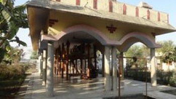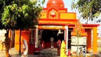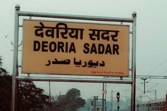
Deoria is a city in the state of Uttar Pradesh, India. It is one of five tehsils of the Deoria district. Deoria is located 50 km to the southeast of Gorakhpur and about 310 km from the state capital Lucknow.
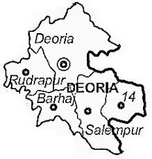
Deoria district is one of the districts of Uttar Pradesh state of India, and Deoria town is the district headquarters. Deoria district is a part of Gorakhpur division. Deoria District came into existence at March 16, 1946 from Gorakhpur district.
Geography
Deoria district is located between 26 ° 6' and 26° 48' north latitude to 83° 23' and 84° 16' east longitude. It is surrounded by Kushinagar district in the north, Gopalganj and Siwan districts of Bihar in the east, Mau and Ballia districts in the south and Gorakhpur district in the west.
Ghaghara, Rapti and Chhoti Gandak are the main rivers in the district.
Deoria district consists of 16 blocks:
Baitalpur, Bankata
Barhaj, Harnoutha & more.., Bhagalpur
Bhalubani, Bhatni
Bhatpar Rani, Deoria, Desai Deoria
Gauri Bazaar, Lar
Pathardeva, Rampur Karkhana
Rudrapur, Salempur
Tarkulwa, Places adjacent to Deoria district
Demographics, Religions in Deoria District
According to the 2011 census Deoria district has a population of 3,098,637, roughly equal to the nation of Mongolia or the US state of Iowa. This gives it a ranking of 114th in India (out of a total of 640). The district has a population density of 1,220 inhabitants per square kilometre (3,200/sq mi) . Its population growth rate over the decade 2001-2011 was 14.23%. Deoria has a sex ratio of 1013 females for every 1000 males, and a literacy rate of 73.53%.
Languages
Vernaculars spoken in Deoria include Bhojpuri language and also spoken Hindi with English language almost 40 000 speakers, written in both the Devanagari and Kaithi .
source: https://en.wikipedia.org/wiki/Deoria_district