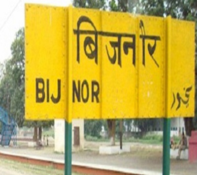
Bijnor is a city and a municipal board in Bijnor district in the state of Uttar Pradesh, India. To boost its development, there is demand for the inclusion of Bijnor in the Delhi NCR. Another demand is to transfer this district into Uttarakhand as it is the Gateway to Uttarakhand.
As per 2011 census, Bijnor urban agglomeration had a population of 115,381 out of which males were 60,656 and females were 54,725. The literacy rate was 77.90 per cent.
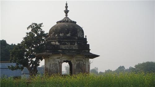
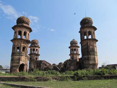
In popular culture
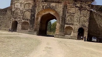
The popular Hindi TV show, Yahan Ke Hum Sikandar was set in Bijnor. Jhalra Najibabad
Education
Schools in Bijnor, whether using English or Hindi as a medium of instruction, are affiliated to one of the four bodies, Central Board of Secondary Education (C.B.S.E.), Council for the Indian School Certificate Examinations (C.I.S.C.E), University of Cambridge International Examinations and Uttar Pradesh Madhyamik Shiksha Parishad (U.P. Board).
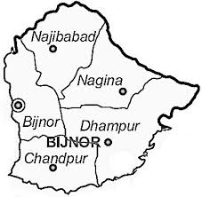
Bijnor, or more correctly Bijnaur, occupies the north-west corner of the Moradabad Division (historically, Rohilkhand or Bareilly region), and is a roughly triangular stretch of country with its apex to the north. The western boundary is formed throughout by the deep stream of the river Ganges, beyond which lie the four districts of Dehradun, Saharanpur, Muzaffarnagar and Meerut. To the north and north-east in the hill country of Garhwal, the dividing ling being the submontane road, which runs from Hardwar along the foot of the Himalayas to Ramanagar, Haldwani and Tanakpur. This road, popularly known as the Kandi Saradk, belongs throughout its length to Garhwal, the transfer having taken place a few years since. On the east the Phika river for the greater part of its course constitutes the boundary, separating this district from Naini Tal and Moradabad, as far as its junction with the Ramganga; and to the south lie the Thakurdwara Tehsil of Moradabad. Amroha, and Hasanpur tahsils of Amroha District. The boundary being conventional and undetermined by natural features. The extreme parallels of north latitude are 29° 2' and 29° 58' and of east longitude 78° 0' and 78° 57' from Lalitpur, the most northerly point, to koti Rao in the furthest eastern corner the distance in 56 miles (90 km); and from koti Rao to Kamharia in the south-westerly angle 57 miles (92 km); and from Kamharia to Lalitpur 62 miles (100 km). The total area of the district is liable to change slightly from time to time by reason of the erratic action of the Ganges and Ramganga: in 1906 it amounted to 1,145,272 acres (1789.5 square miles, 4634.75 km²) the average for the last five years being 1,147,967 acres (4,645.66 km²).
There remains the low fringe of khadir along the Ganges to the west. This generally resembles the lowlands that skirt the rivers of the interior, the low flats which adjoin the stream itself being purely alluvial in character, while above them rises a terrace of higher ground extending inland as far as the chain of stagnant morasses lying immediately under the bangar cliff.
source: https://en.wikipedia.org/wiki/Bijnor_district