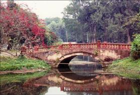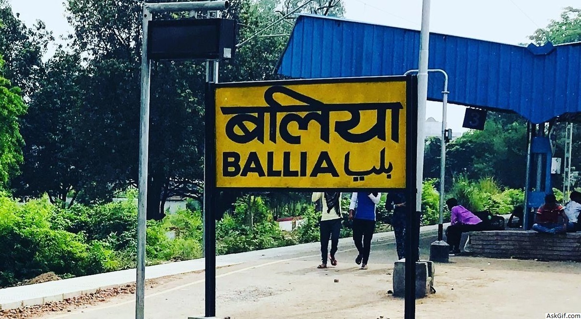
Ballia is a city with a municipal board in the Indian state of Uttar Pradesh bordering Bihar. The eastern boundary of the city lies at the junction of two major rivers, the Ganges and the Ghaghara. The city is situated 140 km (87 mi) east of Varanasi. Bhojpuri is the primary local language. Ballia was independent on 19 August 1942; it was the first independent city of India.
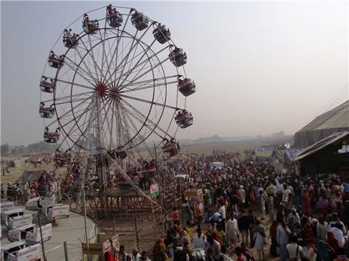
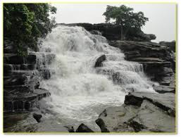
The headquarters of the Ballia district are located here. Due to its significant contribution to the Indian independence movement, Ballia is also known as Bagi Ballia ("Rebel Ballia"), because Ballia got freedom twice, first on 19 August 1942 for one day, and the second time with India. It has a bird century protected area, the Jai Prakash Narayan bird sanctuary. The other name of this is Suraha Taal which is a natural lake. Primarily foreign and local migratory birds flock to the Jai Prakash Narayan Bird Sanctuary during the winter months. According to estimation, approximately 10,000 birds of 15 species can be sighted in ‘Surha Taal’ the year round. They are the local residents of the sanctuary. During winters, with the arrival of the foreign and local migratory birds, it is estimated that this figure swells up to 200,000.
Origin of the name Ballia
According to locals, the name Ballia was derived from the name of the sage Valmiki, the celebrated Hindu poet and the author of Ramayana. Valmiki resided here at one point, and the place was commemorated by a shrine (although it has long since been washed away). Another belief about the origin of the name is that it refers to the sandy quality of the soil, locally known as "Ballua" ('balu' meaning sand). It was initially called 'Balian', and was later transformed to Ballia.
Geography
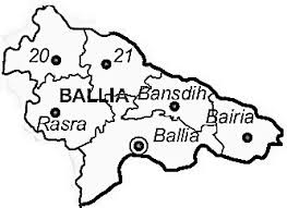
Ballia district is the easternmost part of the Uttar Pradesh state and borders on Bihar State. It comprises an irregularly shaped tract extending westward from the confluence of the Ganga and the Ghaghra, the former separating it from Bihar in the south and the latter from Deoria and Bihar in the north and east respectively. The boundary between Ballia and Bihar is determined by the deep streams of these two rivers. It is bounded on the west by Mau, on the north by Deoria, on the north-east and south-east by Bihar and on the south-west by Ghazipur. The district lies between the parallels of 25º33' and 26º11' North latitudes and 83º38' and 84º39' East longitudes.
Demographics
See also: List of cities in Uttar Pradesh
In 1901, Ballia had a population of 15,278. According to the 2001 Indian census, Ballia had a population of 102,226. Males constituted 54% of the population and females 46%. Ballia had an average literacy rate of 65%, which was higher than the national average of 59.5%, with 58% of the males and 42% of females being literate. 11% of the population was under six years of age.
According to the data of the 2011 census, Ballia has a population of 104,424, of which 55,459 are male and 48,965 are female. The literacy rate was recorded as 83.33% and sex ratio was recorded at 883 per 1000 males.
source: https://en.wikipedia.org/wiki/Ballia